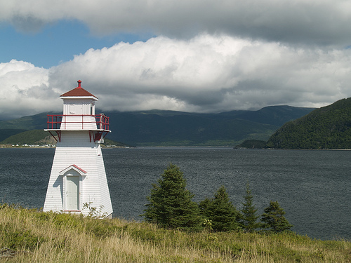
It took us about half the day to drive from Port aux Basques in Newfoundland where the ferry landed to drive up to Gros Morne. And what a drive! I cannot express just how starkly beautiful Newfoundland is. The west coast drive takes you along the remnants of the Appalachian Mountains, and we were going north during the early morning, so everything was cast in that bright morning sunshine. The night’s fog left a coat of dew on everything that sparkled in the light. And there are very few towns along this stretch. The most notable city in the area is Corner Brook, about halfway between the ferry docks and Gros Morne. There are some magnificent vistas from the highway overlooking the city.
Along the drive we realized neither one of us had a cell phone signal, and it wasn’t long before we put it together that Rogers has no presence in Newfoundland. Frustrating, but we had Chris’s iPhone and my iPod so we could grab a WiFi signal here and there and at least let our family know that we didn’t have a signal.
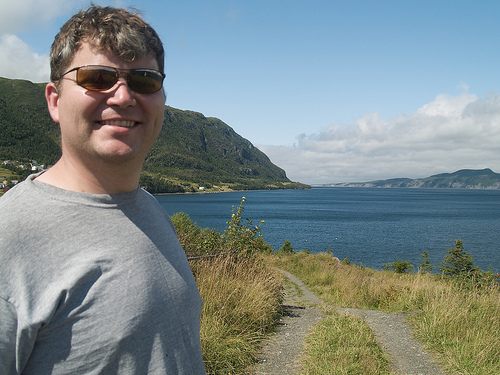
We spent some time exploring the town of Woody Point once we arrived. We had lunch at the Old Loft Restaurant, which had a fantastic cod chowder. Woody Point proved to be more of a base camp for us than our campsite over in Trout River, another 25 minutes or so drive away.
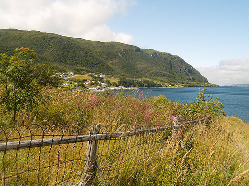
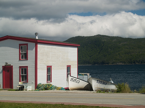
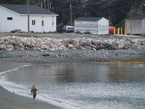
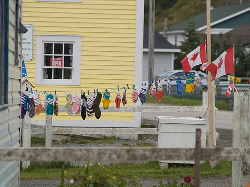
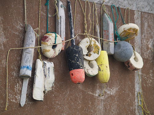
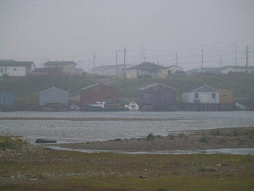
After we got set up in our unremarkable campsite in Gros Morne’s Trout River area, we decided to go check out the town of Trout River. This small fishing village is incredibly remote, and didn’t even have a road leading to it until about 1976. While the town had adopted a small tourist industry with a few small fishing and local heritage museums, it really is primarily a fishing town, and it had a simple rustic charm that resonates with me still.
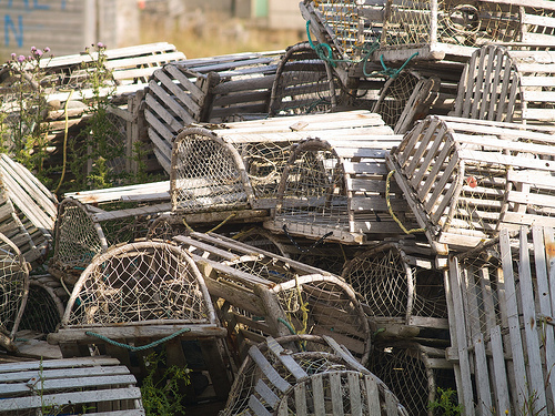
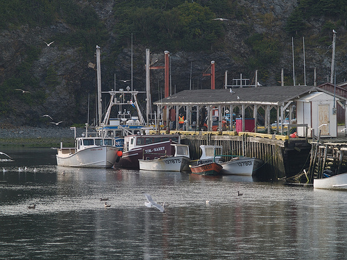
As we checked out the board walk along the bay, we came upon a restaurant that had quite a few non-local vehicles parked out front. It was a two story building right on the board walk, and it was dinnertime so we decided to check it out. We walked inside and the main floor tables were all empty. When we were greeted, we were asked, “do you have a reservation?” Chris and I made eyes at each other like “seriously?” and said no. While the hostess went off to apparently see if they could squeeze us in, we began to notice a lot of newspaper and magazine clippings posted around the entrance. As it turns out, this unassuming little resto is one of the most recommended places to eat in Canada! There were glowing reviews from Lonely Planet, the New York Times, the Globe and Mail, you name it!
We were then taken to the second floor which was apparently where all the action is, because of the view. They weren’t packed but there were quite a few tables, and they obviously expected to fill up as the evening wore on. Chris ordered the shark special and I had the scallops. Both meals were served with a sweet roll that made me think of my grama’s dinner rolls, and we finished off by sharing a partridge berry (lingonberry) pie. We were so impressed we went back again another night. All their seafood is caught locally and fresh. The second time around I tried a Newfoundland favourite: Cod’s Anatomy. This includes cod cheeks, cod tongue and cod fillet. This might sound gross but it was the best cod I’ve ever had; incredibly tender and tasty. So mark it down; if you ever get to Trout River in Newfoundland, be sure to eat at the Seaside Restaurant. And yes, you should probably make a reservation.
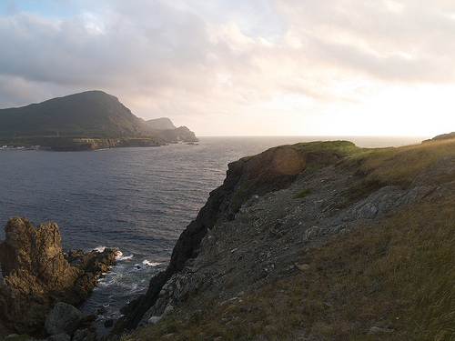
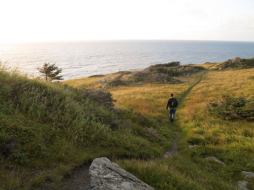
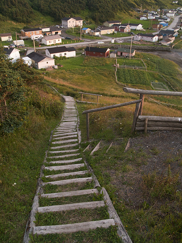
After our fabulous meal we wandered to the east end of the boardwalk where I could see a long set of stairs built into the hillside that led tantalizingly upwards towards a gorgeous looking cliff. It was about an hour or two from sunset so we figured it would be the perfect vantage point to watch the sunset.
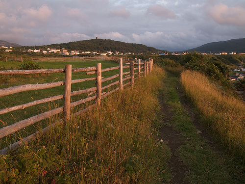
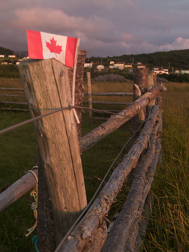
The trail isn’t on any maps that we had of Gros Morne but it was obviously a well used and well-loved trail. There were little boardwalks over the streams and everything was well maintained. We didn’t have any flashlights with us so we were a bit nervous just how far we had gone but the views just kept getting better and better, and the light getting more and more golden pink. We followed it along until it started to bend south and much farther away from town, before we turned back. The vistas were fantastic, and we felt like we were the only ones who knew about the place, it was so magical. I think this part of the trip is still my favourite.
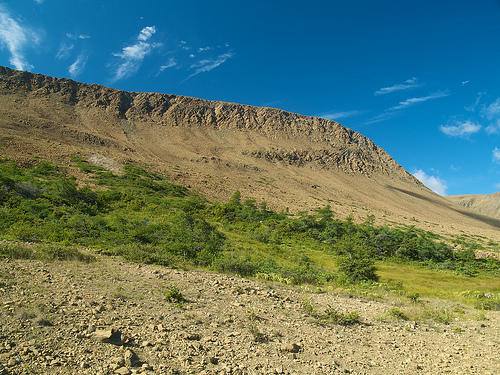
The next day we checked out the Tablelands trail. The rocks there are yellow, in stark contrast to the rest of the park. The soil here is very alkaline so only a few plants grow in the area, including Newfoundland’s provincial flower, a really funky pitcher plant.
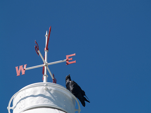
That afternoon we headed north. We stopped in at the Lobster Cove lighthouse, near Rocky Harbour, where a cheeky raven was enjoying the view from the top.
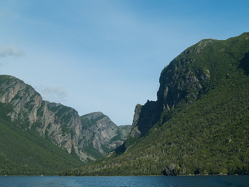
Western Brook Pond is definitely worth seeing – it’s one of those iconic Newfoundland landscapes, the ones you see in the tourism magazines and commercials. You have to hike about 4 km to get to the boat however. Western Brook Pond was once a true fjord, being connected to the sea, however now it has an undulating patches of marsh and shrub lands separating it from the ocean. Unfortunately, it is wildly popular, and they jammed the boats full of people. I was extremely pissed off about this, and probably let it bother me much more than I should. Chris took most of the photos of this stretch, while I pouted down in the enclosed section of the boat, the only area where I could get a seat or a view (through scratched up cloudly Plexiglas).
Regardless, it is worth seeing. There are dozens of long, thin waterfalls dropping down from the high cliffs, and plenty of evidence of rock falls, both recent and not so recent. There are hanging valleys where caribou migrate across, although we didn’t see any. It is a marvelous work of nature. Apparently you have to take these boats to access the Gros Morne mountain hiking trail. Chris and I agreed we’d both love to do that sometime. It’s about a six-day hike, and I bet there are few people who take it on.
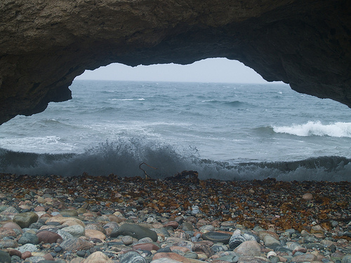
So it was on the drive back from Western Brook Pond when we started having more anxious conversations about what to do about this oncoming hurricane. It was supposed to hit on Sunday, the day we were supposed to be back on the ferry to Cape Breton. I was feeling particularly angry, and the weather was starting to get cloudy and rainy, and we were talking in circles about what to do. By the time we were on the road past Woody Point to Trout River, it was dark, and you want to avoid driving in the dark in Newfoundland, especially in Gros Morne, if you can help it. There are signs all over the place about moose, and Gros Morne has a particularly large population because there is no hunting allowed. We were still arguing when I saw a big floating reflecting eye out on the road ahead of us, and said, “holy crap there’s something HUGE on the road!” Chris was able to slow down with just enough time for the moose to get across. It was a very large bull. Whew!
The next morning’s rain was a big mood dampener for us, and foiled our plans to get up early and attempt the jaunt up to L’Anse aux Meadows, where the viking settlement is located. It was a crazy idea, it would have taken at least 7 hours or so to get there, and we had yet another night booked still in Trout River. And then there was the whole not wanting to drive at night thing. We got going late, we were soaked with rain and so instead we just puttered northbound along the coast, to see how far we could get. It became incredibly foggy and more and more treacherous driving (and much more remote) the further north we went. We made it as far as Port aux Choix National Historic Site, which is an interesting archaeological site where they have found remains of three distinctive groups of aboriginal peoples: the Maritime Archaic Indian, Dorset and Groswater Paleoeskimo, and Recent Indians. We’ll have to attempt L’Anse aux Meadows next time!
At dinner that night we were able to get a WiFi signal and call the Newfoundland ferry dock to find out what was happening with our boat the next day. As it turned out they had canceled all Sunday and Monday ferries in preparation for Hurricane Bill. Thankfully we were able to book ourselves a hotel in Corner Brook for Sunday to wait out the storm.
Later that night after we got back to our campsite, the park ranger came by to say hello. I guess there were only three sites booked that night. Presumably a lot of people had left to clear out before the hurricane was expected. The ranger chatted us up, and we did our best to follow along through his incredibly strong Newfoundland accent. I think I was able to understand him better than Chris, but it took serious work! He let us know we could grab a tarp out of the back of his truck if we got really wet overnight, although it was only drizzling. Sunday morning was still pretty wet but it had dried up considerably compared to Saturday.
Once we got to Corner Brook we settled in and explored the town a little. Then we hunkered down for the storm. There were “hurricane updates” every 20 seconds on TV, and it did look as though Nova Scotia was getting a good wallop. Newfoundland was expected to get it later that evening, mostly on the east coast and the Avalon. In the end Hurricane Bill, for us, turned out to be a non-event. I think we got a sprinkle of rain. All that stress for nothing. Heck we could have spent the night in our tent and probably wouldn’t have even noticed the rain!
Our ferry was rescheduled for the Monday at 4, so we hauled ourselves back down to Port aux Basques and got loaded up and shipped over to North Sydney. We were able to get a cabin again, which we’d been told were fully booked, so that was nice. We made excellent time and were about a half hour from the docks when the boat stopped and we were told it would be another 3 hours or so before we could dock! Boo! We had to wait for another ship to get out of the way; all the schedules were messed up because of the hurricane. As it stood we got into our crappy, smokey hotel room at about midnight, exhausted. Our plan was to get up at 5:30 a.m. and boot it on our whirlwind, one-day tour of Cape Breton (it was supposed to be two nights camping in the highlands, but we had to shift things around after the ferry delay).
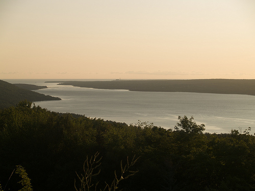
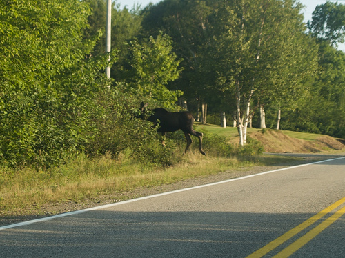
It goes without saying that I’d love to spend more time in Cape Breton on a future trip. Obviously a day, spent mostly driving, isn’t enough. But we were able to squeeze in whale watching, which made me a happy girl. We also saw another moose (I snapped the wretched photo below after being woken up from dozing in the car when Chris slammed on the brakes — I was so caught off guard I couldn’t make the camera work right even though it was right there in my lap).
More to come! Our last leg of the trip was two nights in Quebec City.